Mountains in Albania: The Complete 2026 Guide
Albania is a mountain country wearing a beach country's clothes. More than 70% of its land is hills and highlands, and the peaks climb from the Adriatic shoreline to 2,764 metres (9,068 ft) at the summit of Mount Korab. You get glacier-carved valleys in the north, sacred pilgrimage summits in the centre, ultra-prominent giants in the south, and a coastal range that drops a vertical kilometre straight into the Ionian Sea.
This is the same wild country people compare to the Dolomites or the Swiss Alps — at a fraction of the price. And every recommendation here comes from people who actually live here and have walked these trails.
Use the quick map below to orient yourself, then jump to the region you're planning to explore.
Quick Overview: Albania Mountains Map
Albania's mountains fall into four natural groups — the Northern Alps, the Central massifs, the Southern giants, and the Coastal Ceraunian range. Here is a snapshot of the country's 17 highest and most notable peaks.
| Mountain / Peak | Region | Elevation | Difficulty | Nearest City / Base Town |
|---|---|---|---|---|
| Mount Korab | Northern (Korab Range) | 2,764 m / 9,068 ft | Moderate–Hard | Peshkopi (base: Radomirë) |
| Maja Jezercë | Northern Alps | 2,694 m / 8,839 ft | Hard / technical | Shkodër (base: Theth, Valbonë) |
| Maja Grykat e Hapëta | Northern Alps | 2,625 m / 8,612 ft | Hard | Bajram Curri (base: Valbonë) |
| Maja e Radohimës | Northern Alps | 2,568 m / 8,425 ft | Hard | Shkodër (base: Theth) |
| Mali i Hekurave | Northern Alps | 2,560 m / 8,400 ft | Hard | Bajram Curri |
| Gjallica | Northern (Korab Range) | 2,486 m / 8,156 ft | Moderate–Hard | Kukës |
| Maja e Harapit | Northern Alps | 2,218 m / 7,277 ft | Hard / technical | Shkodër (base: Theth) |
| Mount Tomorr | Central | 2,416 m / 7,927 ft | Moderate | Berat |
| Maja e Shebenikut | Central | 2,265 m / 7,431 ft | Moderate | Librazhd |
| Mount Dajti | Central | 1,613 m / 5,292 ft | Easy (cable car) | Tirana |
| Mount Shpirag | Central | 1,198 m / 3,930 ft | Easy–Moderate | Berat |
| Maja e Papingut (Nemërçka) | Southern | 2,482 m / 8,143 ft | Hard | Përmet |
| Gramos (Çukapeçit) | Southern | 2,523 m / 8,278 ft | Moderate–Hard | Ersekë |
| Mali i Gjerë | Southern | 1,789 m / 5,869 ft | Moderate | Gjirokastër |
| Maja e Çikës | Coastal (Ceraunian) | 2,045 m / 6,709 ft | Moderate–Hard | Vlorë (base: Llogara) |
| Maja e Qorres | Coastal (Ceraunian) | 2,018 m / 6,621 ft | Moderate | Vlorë (base: Llogara) |
| Mount Tarabosh | Coastal (Rumija) | 595 m / 1,952 ft | Easy | Shkodër |
A quick note on how this guide is organised: we cover the Northern Alps (the dramatic Accursed Mountains plus the Korab range to the east), the Central massifs around Tirana and Berat, the Southern giants near Përmet and Gjirokastër, and the Coastal Ceraunian range above the Riviera — north to south, then planning logistics and FAQs.
Northern Alps: The Accursed Mountains and Korab
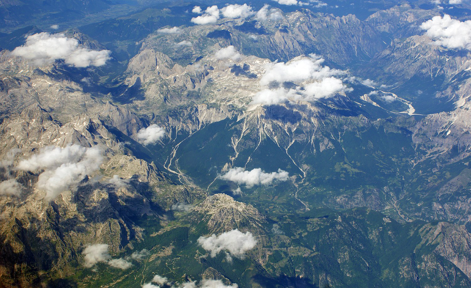
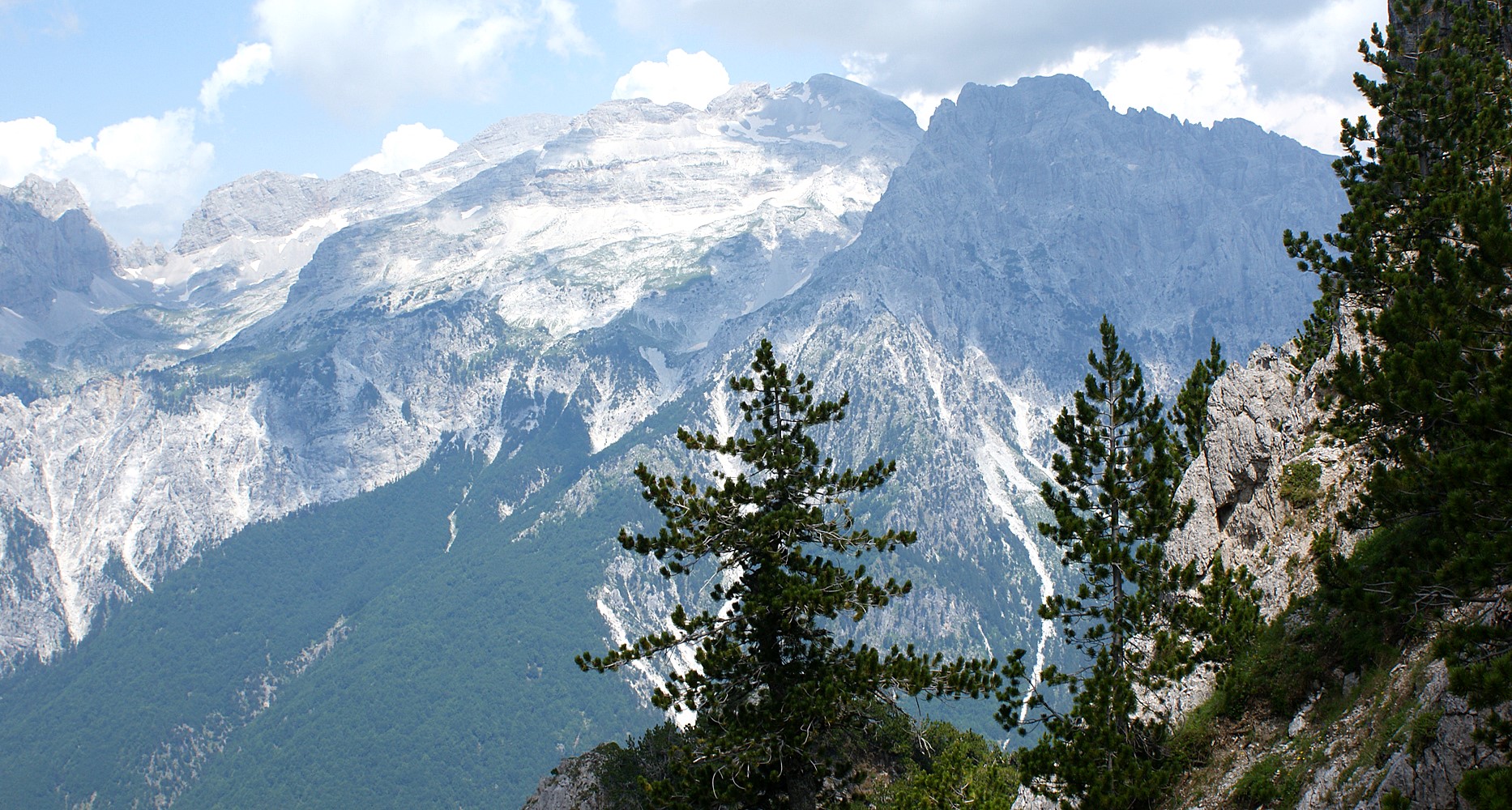
This is the headline act. The Albanian Alps — known locally as Bjeshkët e Nemuna, the "Accursed Mountains," or by their Balkan name Prokletije — are the southernmost and highest stretch of the Dinaric Alps. To the east, separated by the Drin river system, the Korab range holds the country's single highest summit.
In 2022 the former Theth and Valbona Valley national parks were merged with the Gashi Nature Reserve into the new Alps of Albania National Park. Most of the iconic northern peaks sit inside it.
Base town for most of this region: Shkodër in the northwest, or Bajram Curri and Kukës in the east. Almost everyone starts a northern trip in Shkodër, the gateway city, before transferring to the trailhead villages of Theth and Valbonë.
Read our complete Albanian Alps travel guide · See our Mount Gjallica guide
| Peak | Elevation | Difficulty | Nearest City / Base Town |
|---|---|---|---|
| Mount Korab (Maja e Korabit) | 2,764 m / 9,068 ft | Moderate–Hard | Peshkopi · base village Radomirë |
| Maja Jezercë (Jezerca) | 2,694 m / 8,839 ft | Hard / technical | Shkodër · base Theth or Valbonë |
| Maja Grykat e Hapëta | 2,625 m / 8,612 ft | Hard | Bajram Curri · base Valbonë |
| Maja e Popllukës | 2,569 m / 8,428 ft | Hard | Shkodër · base Theth |
| Maja e Radohimës (Radohina) | 2,568 m / 8,425 ft | Hard | Shkodër · base Theth |
| Mali i Hekurave | 2,560 m / 8,400 ft | Hard | Bajram Curri |
| Kollata | 2,553 m / 8,376 ft | Hard | Bajram Curri · base Valbonë |
| Gjallica | 2,486 m / 8,156 ft | Moderate–Hard | Kukës |
| Shkëlzen | 2,407 m / 7,897 ft | Moderate–Hard | Bajram Curri |
| Maja e Thatë | 2,406 m / 7,894 ft | Moderate–Hard | Bajram Curri · base Valbonë |
| Maja e Harapit | 2,218 m / 7,277 ft | Hard / technical | Shkodër · base Theth |
Mount Korab
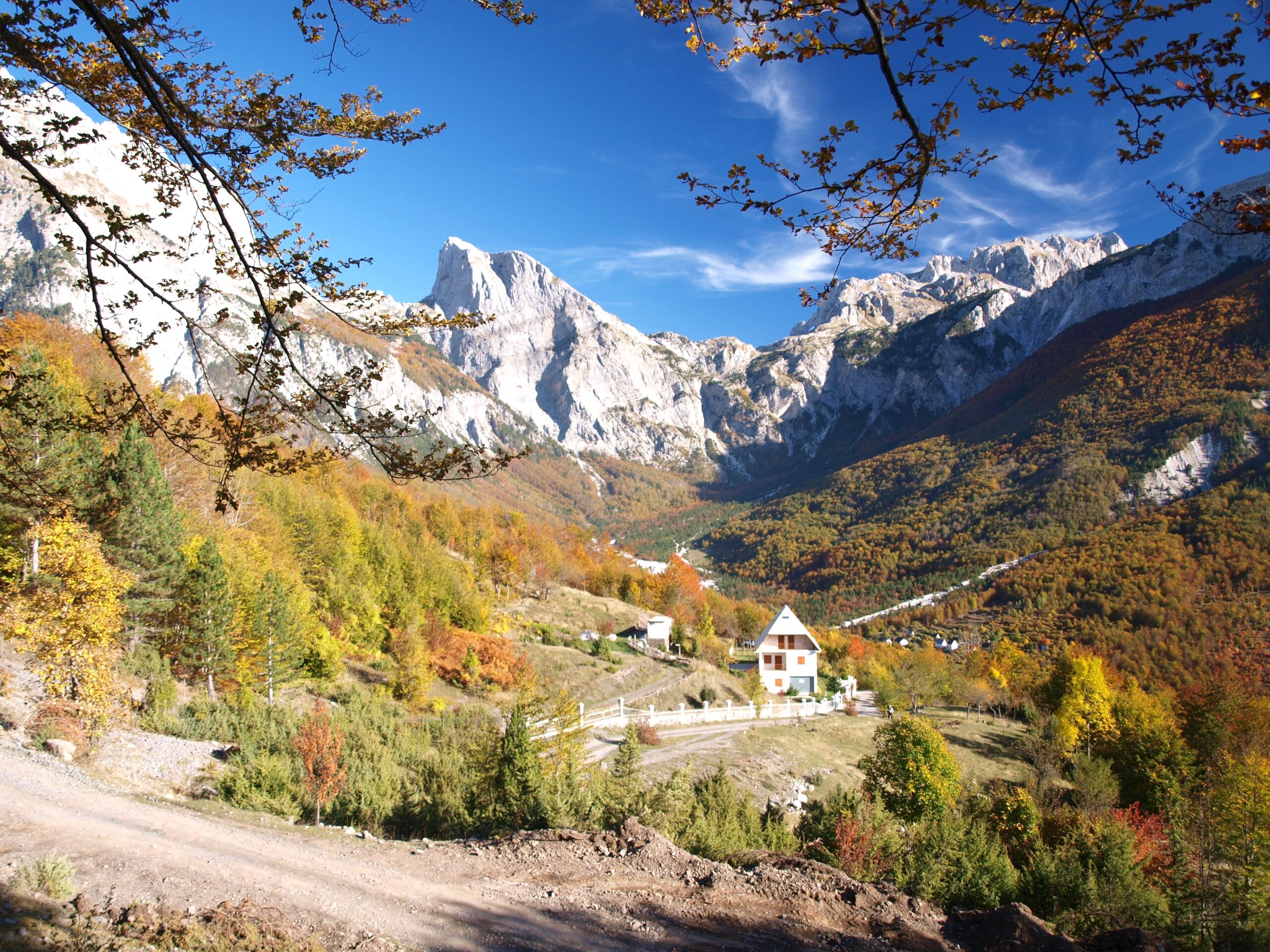
The Roof of AlbaniaMount Korab (Maja e Korabit) is the highest peak in Albania at 2,764 metres (9,068 ft), and it's a geographic oddity: the summit straddles the Albania–North Macedonia border, making it one of only two summits in Europe that is the highest point of two countries at once — the other being Mont Blanc.
Korab sits inside the Korab-Koritnik Nature Park, established in 2011.
From Radomirë (~1,250 m) the route climbs roughly 1,500 m to the summit — a non-technical but long day, generally cited as about 5 hours up and 3–4 hours down. No ropes are needed, but it's a serious mountain day.
Read our complete guide to climbing Mount Korab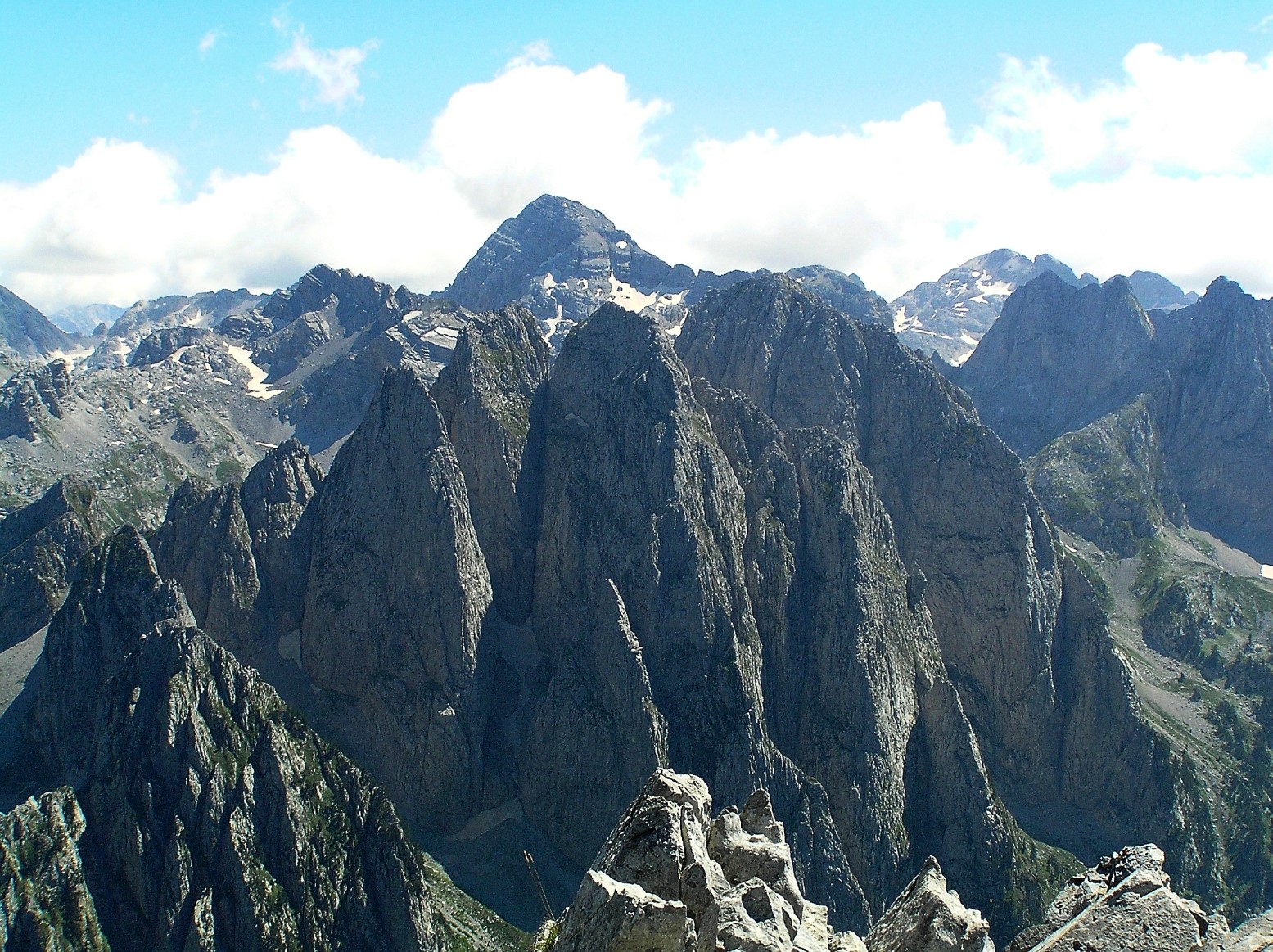
Maja Jezercë
Highest of the Dinaric AlpsIf Korab is the highest, Jezercë (Maja Jezercë) is the prize for serious mountaineers. At 2,694 metres (8,839 ft) it is the highest peak of the entire Dinaric Alps and the second-highest in Albania — widely described as one of the toughest and most dangerous climbs in the Albanian Alps.
Expect a hard, route-finding-heavy day with 1,500–1,900 m of elevation gain depending on approach. No glacier travel in summer, but this is for experienced hikers only, within the Alps of Albania National Park.
Read our Maja Jezercë mountain profile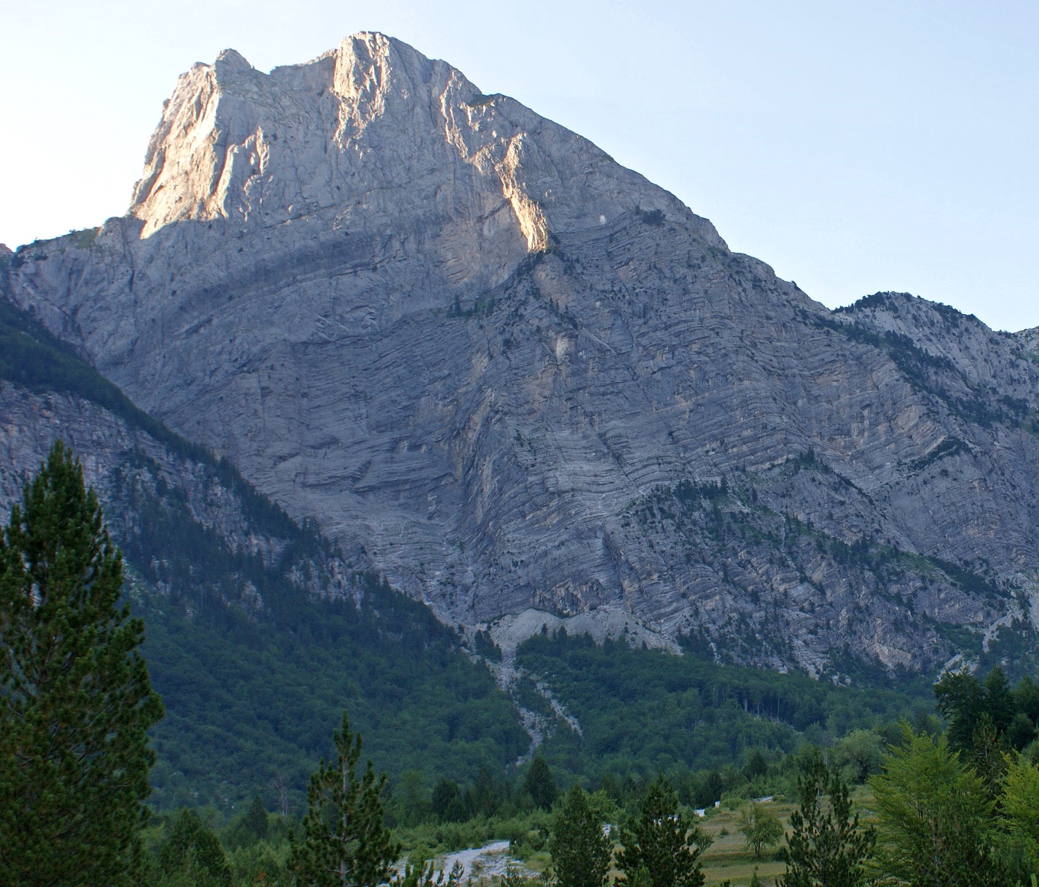
Maja e Harapit
The Balkans' Biggest Rock WallMaja e Harapit (sometimes Arapit) is only 2,218 metres (7,277 ft), but its south face rises about 800 metres in a single sweep — considered the highest rock wall on the Balkan Peninsula. The view of it from the Theth valley is one of the defining images of the Albanian Alps.
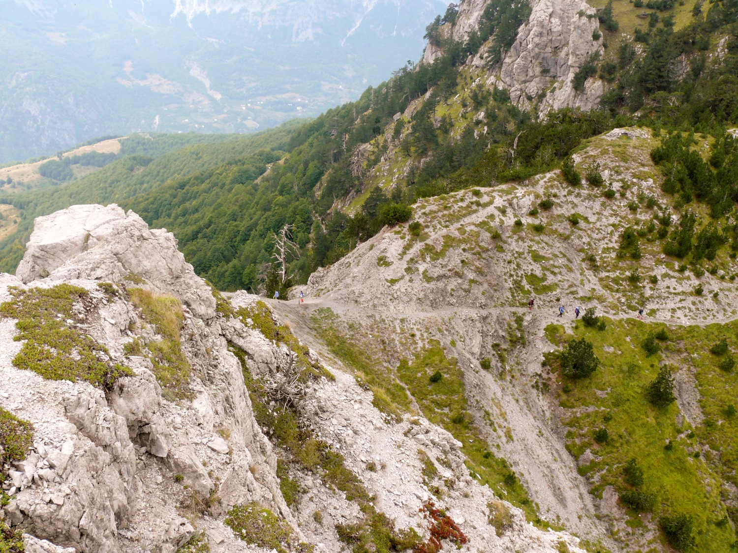
The Theth–Valbona Trail
Albania's Most Famous Day HikeYou can't write about the northern mountains without this trail. The Theth–Valbona crossing links the two most beautiful valleys in the Alps over the Valbona Pass (1,795 m). No technical skills needed, just decent fitness.
How most people do it: From Shkodër, take the morning minibus to Koman, the Koman–Fierza ferry through the gorge, then onward transport to Valbonë for the night. Hike to Theth the next day. Guesthouses in both villages cook dinner and pack lunches.
Read our full Theth to Valbona hike guideCentral Mountains: Tirana, Berat and the Sacred Peaks
The central belt is the most accessible mountain country in Albania — and home to two summits that matter culturally as much as geographically. Tirana and Berat are your base cities here.
| Peak | Elevation | Difficulty | Nearest City / Base Town |
|---|---|---|---|
| Mount Tomorr (Çuka e Partizanit) | 2,416 m / 7,927 ft | Moderate | Berat |
| Maja e Shebenikut | 2,265 m / 7,431 ft | Moderate | Librazhd |
| Kulmak (Tomorr massif) | 2,173 m / 7,129 ft | Moderate | Berat |
| Mount Dajti | 1,613 m / 5,292 ft | Easy (cable car) | Tirana |
| Mount Shpirag | 1,198 m / 3,930 ft | Easy–Moderate | Berat |
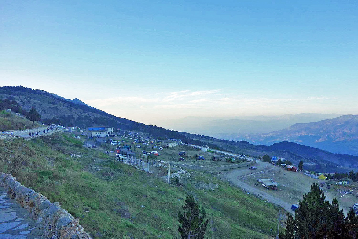
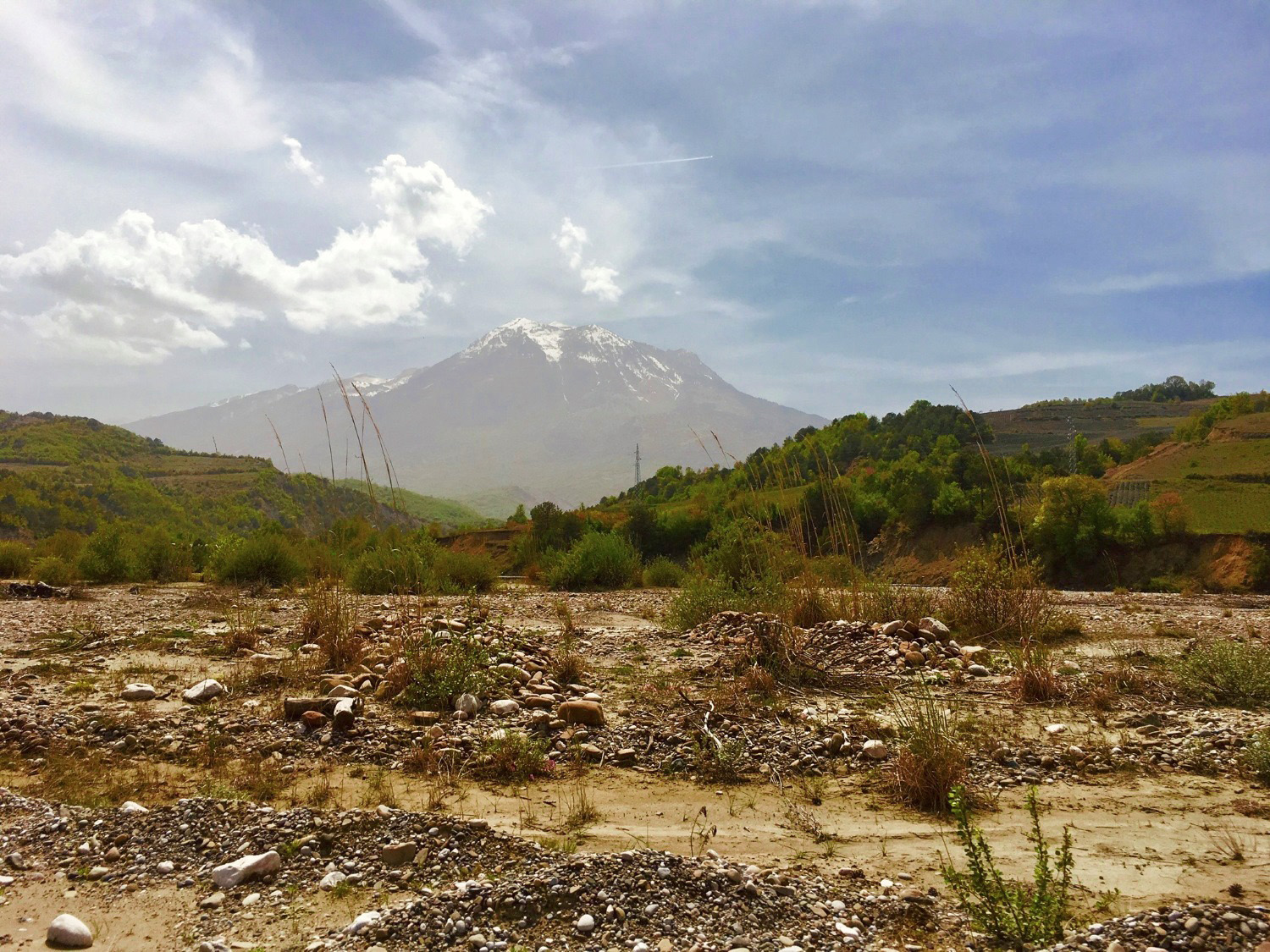
Mount Tomorr
Albania's Sacred SummitMount Tomorr rises to 2,416 metres (7,927 ft) at its highest point, Çuka e Partizanit, towering over the UNESCO city of Berat. It's the highest point of central Albania and one of the country's most spiritually significant places — sacred to both Bektashi Muslims and Albanian Christians, with a major pilgrimage every August (the 20th–25th).
A moderate climb; the pilgrimage track up to the Kulmak teqe is the most-trodden route. The full summit is a long but non-technical day.
Read our Mount Tomorr mountain profileMount Dajti — Tirana's Balcony
The Easiest Big View in AlbaniaIf you only have a half-day and you're in the capital, this is it. Mount Dajti (1,613 m / 5,292 ft) sits directly east of Tirana, and the Dajti Ekspres cable car lifts you most of the way for sweeping views over the city. Locals call it the "Balcony of Tirana."
Read our Mount Dajti cable car and trail guide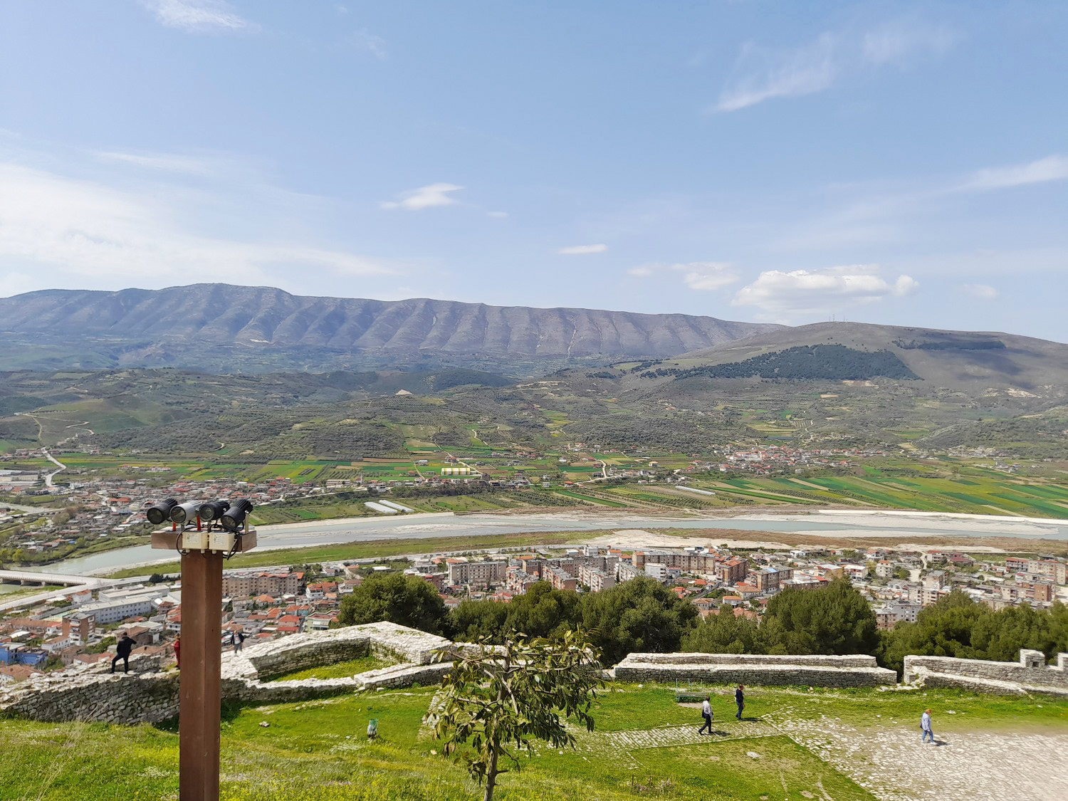
Mount Shpirag
Berat's Other MountainFacing Tomorr across the Osum valley, Shpirag (1,198 m / 3,930 ft) is a gentler half-day hike straight from Berat.
Southern Mountains: Përmet, Gjirokastër and the Greek Border
The south is high, remote and uncrowded — ultra-prominent peaks, deep canyons, and the cultural heartland around the stone city of Gjirokastër. Base cities here are Përmet, Gjirokastër, and Ersekë.
| Peak | Elevation | Difficulty | Nearest City / Base Town |
|---|---|---|---|
| Gramos (Maja e Çukapeçit) | 2,523 m / 8,278 ft | Moderate–Hard | Ersekë |
| Maja e Papingut (Nemërçka) | 2,482 m / 8,143 ft | Hard | Përmet |
| Lunxhëri | 2,155 m / 7,070 ft | Moderate | Gjirokastër |
| Maja e Këndrevicës | 2,122 m / 6,962 ft | Moderate–Hard | Gjirokastër |
| Dhëmbel | 2,050 m / 6,726 ft | Moderate | Gjirokastër |
| Mali i Gjerë (Maja e Frashërit) | 1,789 m / 5,869 ft | Moderate | Gjirokastër |
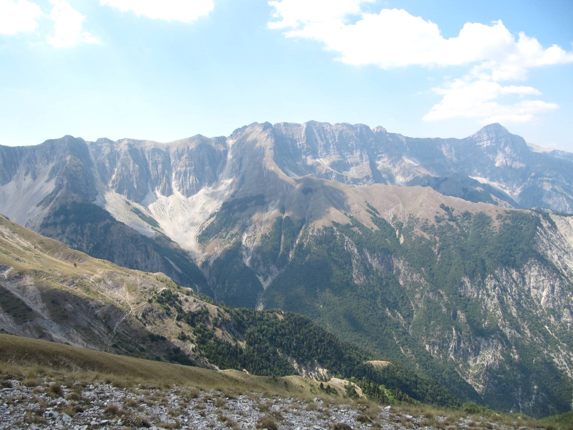
Maja e Papingut
The Southern GiantAt 2,482 metres (8,143 ft), Maja e Papingut is the highest summit of the Nemërçka massif and the highest point in southern Albania. It's an ultra-prominent peak — the third most prominent in the whole country — and holds snow for much of the year.
Read our Nemërçka & Maja e Papingut profile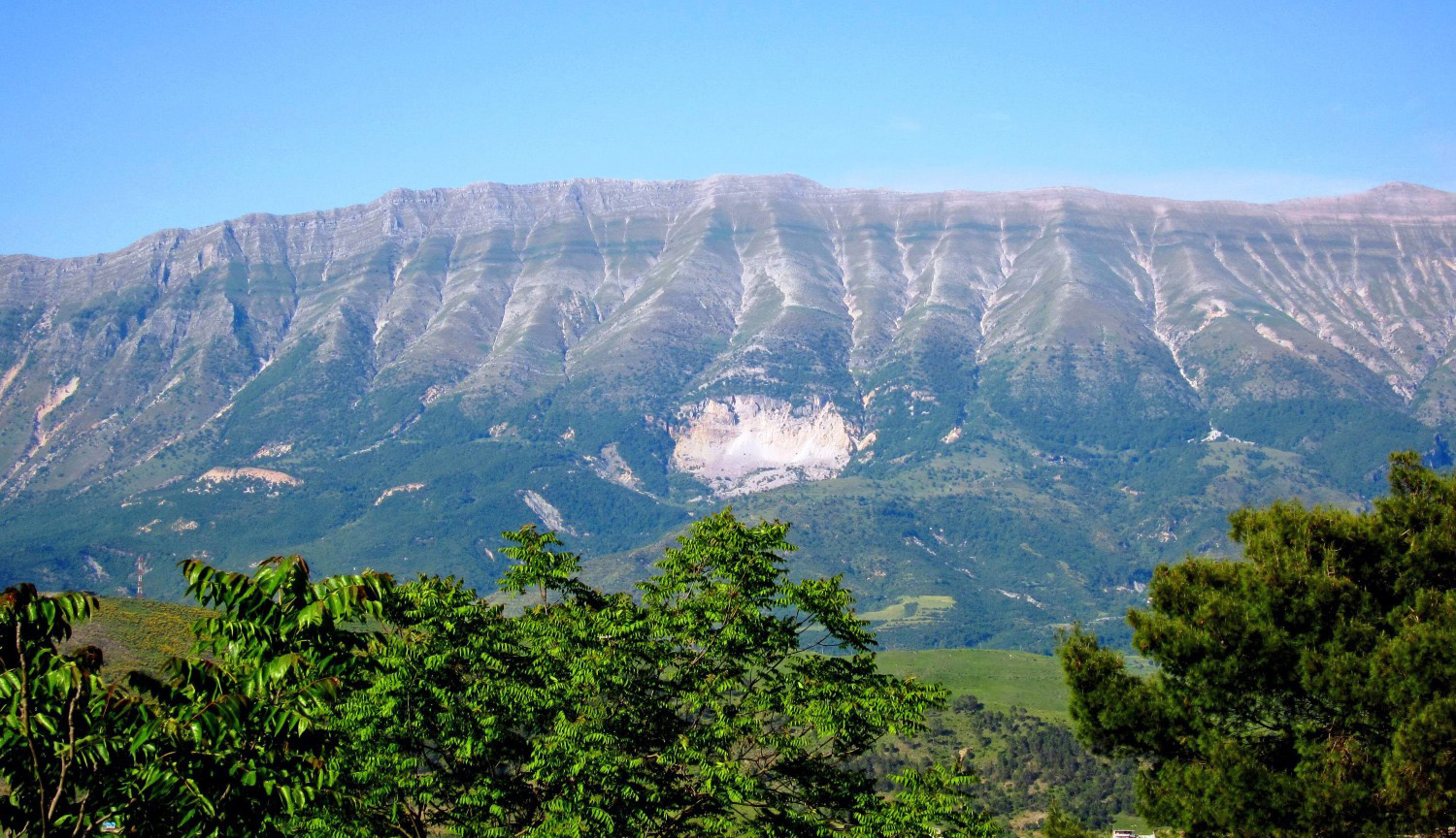
Mali i Gjerë
The Wide Mountain Above GjirokastërMali i Gjerë ("Wide Mountain") tops out at 1,789 m / 5,869 ft at Maja e Frashërit and forms the long ridge between Gjirokastër and Sarandë. The famous Blue Eye (Syri i Kaltër) karst spring sits at its foot.
Visit the Blue Eye (Syri i Kaltër) guideCoastal Mountains: The Ceraunian Range Above the Riviera
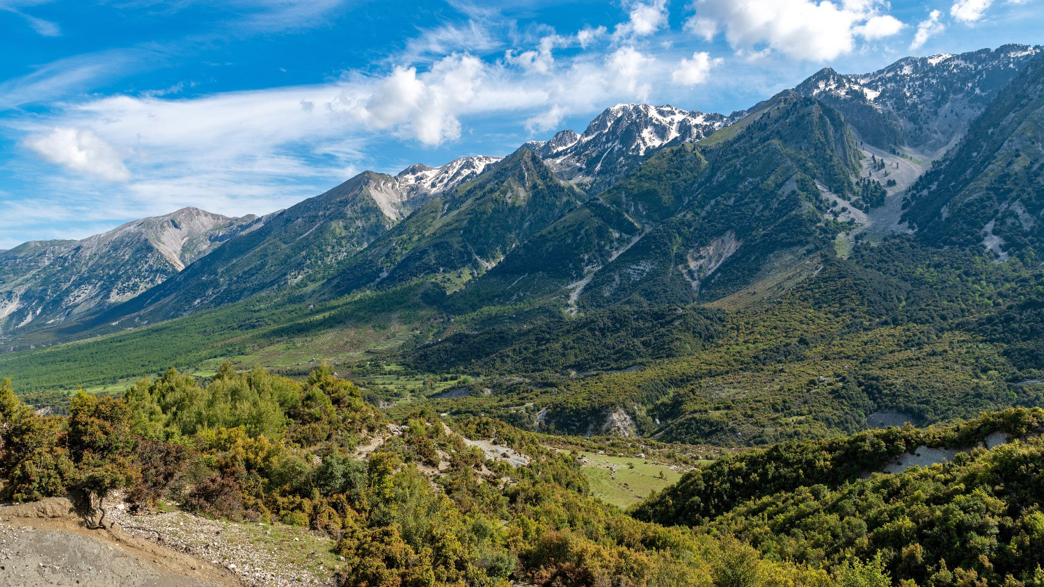
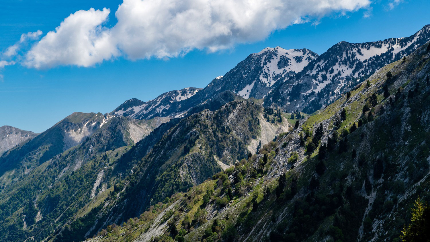
This is where the mountains meet the sea. The Ceraunian Mountains (Malet e Vetëtimës, "Thunderbolt Mountains") run about 100 km along the Albanian Riviera, and on their western side they plunge nearly a vertical kilometre straight into the Ionian. The legendary Llogara Pass (1,027 m) is the gateway. Base city: Vlorë, with Himarë on the coast below.
Read our Llogara Pass hike guide
| Peak | Elevation | Difficulty | Nearest City / Base Town |
|---|---|---|---|
| Maja e Çikës | 2,045 m / 6,709 ft | Moderate–Hard | Vlorë · base Llogara Pass |
| Maja e Qorres | 2,018 m / 6,621 ft | Moderate | Vlorë · base Llogara Pass |
| Lungara | 1,863 m / 6,112 ft | Moderate | Vlorë |
| Mount Tarabosh (Rumija) | 595 m / 1,952 ft | Easy | Shkodër |
Maja e Çikës
Where the Mountain Falls Into the SeaMaja e Çikës (2,045 m / 6,709 ft) is the highest peak of the Ceraunian Mountains and the high point of the entire coastal range. From the summit the land drops abruptly 800–1,000 metres to the Ionian Sea — you are standing above turquoise water you could be swimming in two hours later.
Read our Maja e Çikës mountain profile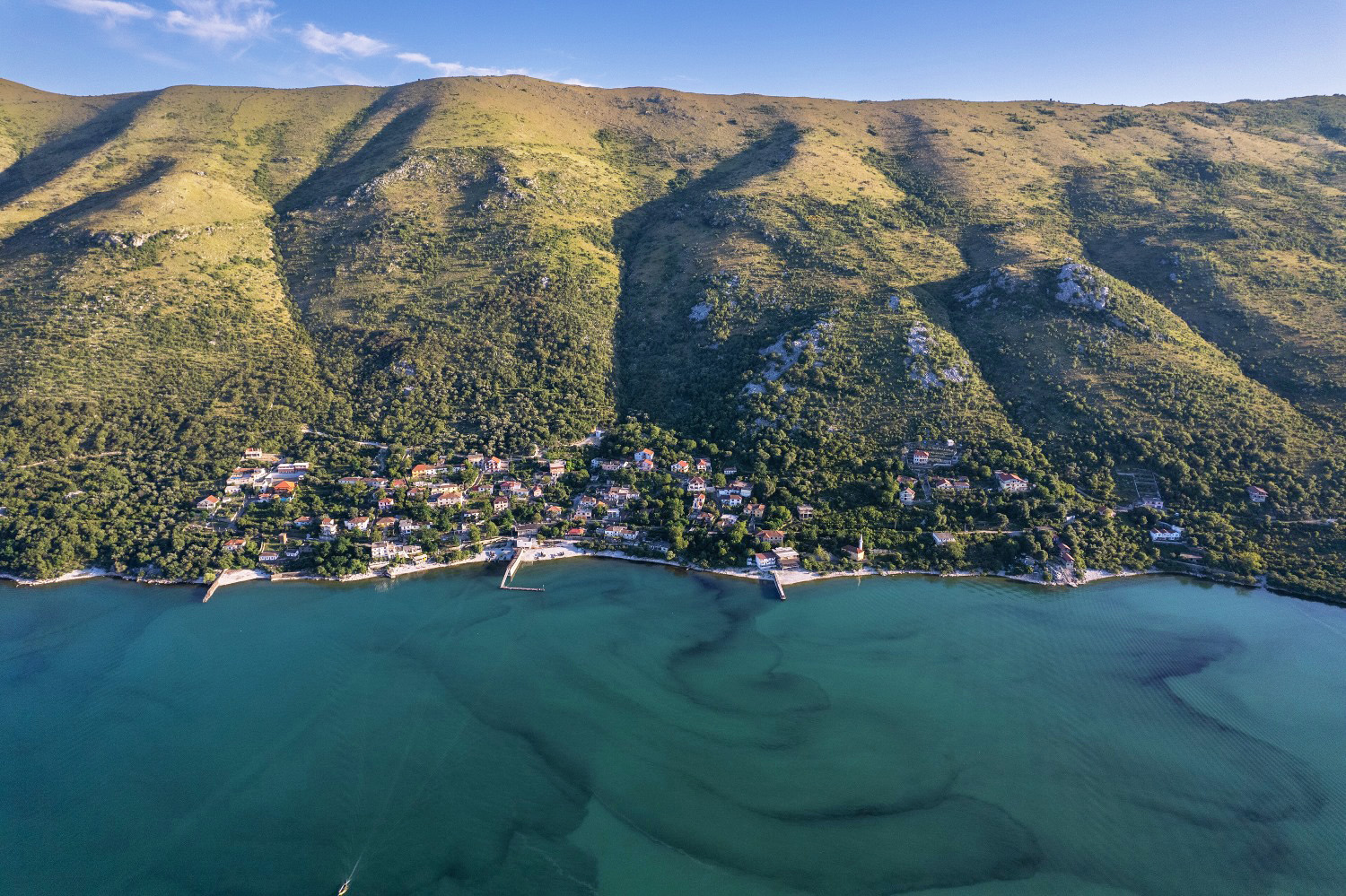
Mount Tarabosh
The Coastal Lookout Near ShkodërUp north, Tarabosh (595 m / 1,952 ft) is a low but historically strategic ridge of the Rumija range, sitting between Lake Skadar and the Adriatic right beside Shkodër. An easy outing with big views.
Best Time to Visit Albania's Mountains in 2026
Unlike the coast, mountain timing depends on altitude and route, not the calendar month alone. Here is how the season breaks down by region.
High Alpine Summits
Korab, Nemërçka: Late June to early October is the safe window. Snow lingers on north faces into June, and high passes can ice up by mid-October.
The Theth–Valbona Trail
June to September. The Koman ferry and guesthouses run on a summer schedule; many close in winter.
Lower & Central Peaks
Dajti, Shpirag, Tomorr, Mali i Gjerë: April to November. Spring brings wildflowers; autumn brings clear air and quiet trails.
Tomorr Pilgrimage
If you want to witness it, the festival runs 20–25 August — expect crowds.
How to Get to the Mountains
Each region has its own gateway city. Here is how to reach each one from Tirana.
North: Theth, Valbonë, Korab
Fly into Tirana, bus or drive to Shkodër (gateway for Theth/Valbonë) or Peshkopi/Kukës (gateway for Korab and Gjallica). The Koman–Fierza ferry is the scenic link into the eastern Alps.
Central: Dajti, Tomorr
Dajti is a 15-minute drive plus cable car from Tirana. Tomorr is reached via Berat.
South: Nemërçka, Gjerë
Base in Përmet or Gjirokastër; both are on the main southern road from Tirana toward Greece.
Coast: Çika, Llogara
Drive the Riviera road over the Llogara Pass; base in Vlorë or Himarë.
A rental car gives you the most freedom; furgon (minibus) networks connect all the base cities but thin out toward the trailhead villages.
Read our complete Albania transport guideWhere to Stay Near the Mountains
Your choice of base determines how easily you can reach the trailheads. Here is how to pick the right town.
Theth & Valbonë
Family-run guesthouses (bujtina) with half-board are the heart of the experience — book ahead for July–August.
Shkodër
The best hub for organising northern logistics, with the full range of hotels.
Berat & Gjirokastër
UNESCO old-town stays put you within reach of Tomorr, Shpirag, and the southern ranges.
Llogara Pass
Mountain lodges right at the trailhead let you summit Çika and still reach the beach by afternoon.
Albania's Mountains Are Waiting.
Is Your Trip Booked?
Guesthouses in Theth, Valbonë and Berat sell out fast in July and August. Lock in your stay now — budget bujtina or boutique mountain lodge, we have options at every price point across northern, central and southern Albania.
Safety and Responsible Hiking
Albania's mountains are still wild in a way that Western Europe's are not. A little preparation goes a long way.
Hire a local guide for the big summits
Korab, Jezercë, Nemërçka. Trails are often unmarked and weather turns fast above 2,000 m.
Border awareness
Korab and Jezercë sit on or near international borders. Carry your passport; the Macedonian-side Korab route requires it.
Water
On Korab, the last reliable water source is near the trailhead — carry enough for the full climb.
Leave no trace
The Alps of Albania National Park is young and fragile. Pack out everything, stick to trails, and support the guesthouse economy that keeps these valleys alive.
Frequently Asked Questions About Albania's Mountains
Mount Korab, at 2,764 metres (9,068 ft), on the border with North Macedonia. It's the highest point of both countries.
Maja Jezercë (2,694 m / 8,839 ft) in the Accursed Mountains — also the highest peak of the whole Dinaric Alps.
Yes. "Albanian Alps," "Accursed Mountains," and the Balkan name "Prokletije" all refer to the same range.
The Theth–Valbona crossing — about 17 km, 6–7 hours, moderate, with guesthouses at both ends. For something shorter, the Dajti cable car above Tirana gives a big mountain view with almost no effort.
Yes — that's the magic of the Ceraunian range. Maja e Çikës rises straight off the Riviera near the Llogara Pass, so a morning summit and an afternoon swim at Himarë is genuinely doable.
Shkodër for the north, Tirana for Dajti, Berat for Tomorr, Përmet or Gjirokastër for the south, and Vlorë or Himarë for the coastal range.
For the high summits (Korab, Jezercë, Nemërçka), yes — strongly recommended. For waymarked routes like Theth–Valbona or the Dajti cable car, no.
Plan Your Albania Mountain Adventure
From the glacier valleys of the north to the sea-cliff summits of the Riviera, Albania's mountains are still one of Europe's last genuinely wild ranges — and they're astonishingly affordable. Whether you want a gentle cable-car view over Tirana or a two-day push to the roof of the Dinaric Alps, there's a peak here with your name on it.
Browse handpicked mountain guesthouses and guided treks across northern, central and southern Albania — booked direct, no middlemen, best-rate guaranteed.
Ready to Book Your Albania Mountain Adventure?
Handpicked guesthouses and mountain lodges across the Albanian Alps, Berat, Gjirokastër and the Riviera peaks. Book direct — no middlemen, no hidden fees, best rate guaranteed.